1:20,000 DIGITAL TOPOGRAPHIC MAPPING
Choose map sheet options from table on right
Block
Area
.GIF
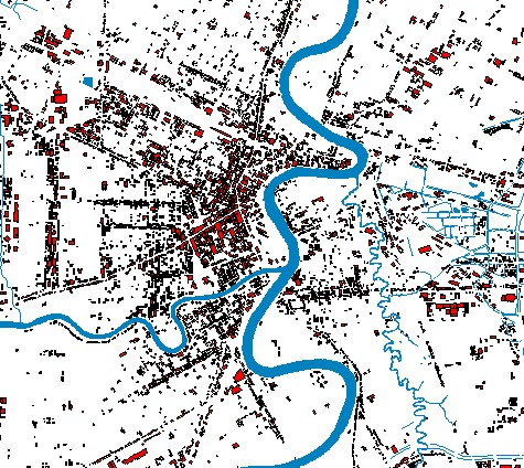
Overview
.DOC
Metadata
.DXF
Download
.SHP
Download
Buildings
.GIF
.DOC
.DXF
.SHP
Contours
.GIF
.DOC
.DXF
.SHP
Designated
Areas
.GIF
.DOC
.DXF
.SHP
Land Cover
.GIF
.DOC
.DXF
.SHP
Water
.GIF
.DOC
.DXF
.SHP
IRS image
mosaic
.TIF
.DOC
.SID
.SDW
Back to data index
Rev. 2004-12-13 09:44